
Studies on landscape indicators from remote sensing on flowering patterns, landscape structure and land cover change in Africa
Within the African Reference Laboratory for Bee Health, the Geo-Information Unit is deriving landscape indicators from remote sensing on flowering patterns, landscape structure and land cover change cover for several project sites in Africa.
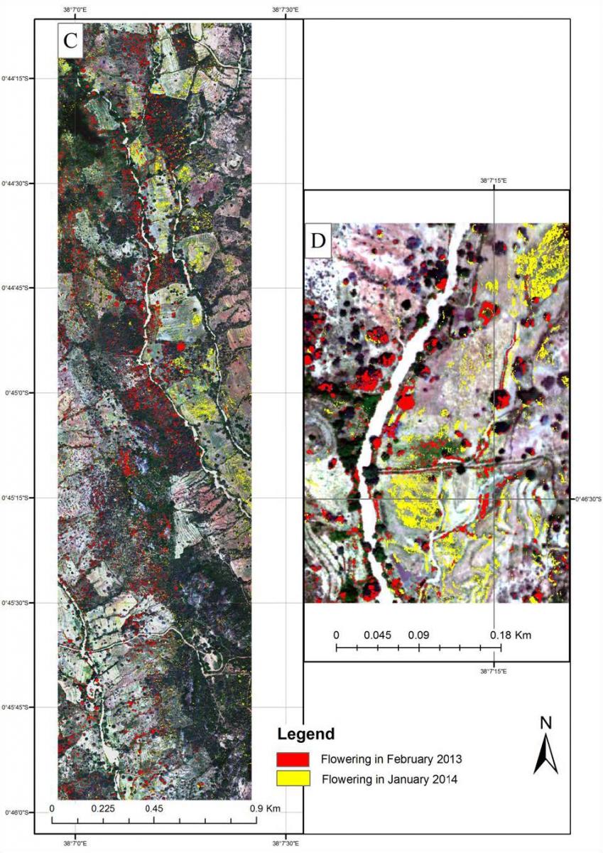
The image below shows a flowering distribution and abundance map for a study area in Mwingi, Kitui County in Eastern Kenya. The flowering response was derived from multi-temporal hyperspectral imagery using a newly developed algorithm. Red pixels indicate flowering plants in February, and Yellow illustrates flowering activity in January 2014. Image D is a zoom in of the larger image C.
Donors:
- European Union
Collaborators:
- African Union
- University of Wageningen, the Netherlands,
- University of Helsinki, Finland